
Walk a Penn Township Street Directory
For a Penn Township street directory task, work from one defined address at a time. Westmoreland County separates the tax duplicate, GIS map, deed index, election records, and local records requests. That separation matters. A tax entry can be dated, a map pin can be in the wrong municipality, and a recorded party can be connected to a transaction without being the person now at the address. The County property search, GIS, and Recorder each answer a different part of the question. Keep the parcel identifier, displayed situs address, map date, and document dates together in a research note.
- Run the address through the Westmoreland Real Property Search. Use the County location convention: omit directional prefixes or suffixes and the street designator when the instruction calls for it.
- Open the same parcel in Westmoreland GIS Tax Mapping. Confirm the Penn Township boundary, displayed situs address, parcel identifier, and map date before treating a postal city as local evidence.
- Search the Recorder Public Access index by relevant party names and inspect the underlying instrument or official copy. Record its type, date, document reference, and legal-description clues.
- For historical occupants, compare a dated directory or telephone volume with the address and then test that clue against a map, deed, estate, or other dated source. The historical volumes themselves are described on the Penn Township Directory Book page.
- If a defined Township permit, zoning, road, meeting, or inspection record is needed, request the existing record by address or parcel and date range. Do not ask an agency to identify people at an address.
That sequence produces a narrow, source-dated record trail. It does not create a present-day roster for a road, and it does not turn a parcel record into proof of identity. Note: Westmoreland tax data refreshes only in late January and late June, so a time-sensitive property statement needs a current recorded instrument as well.
Penn Township Street Directory Property Search
The Real Property Search is the practical first stop for a Penn Township street directory by address. It offers parcel-number, name, and location routes, and the County says a name search accepts all or part of an owner last name without commas or periods. Owner-name and address criteria can be combined to narrow a result. A location search is useful when the road is known, but it should be run without a house number only when using the separate Treasurer street-name route. The public property page itself has a location field, not a promise of a current person list.
| County property control | Format or use | What to keep with the result |
|---|---|---|
| Search By Parcel Number | Enter the displayed county parcel number exactly. No required marker was shown. | Parcel identifier and source date. |
| Search By Name | Use full or partial owner last name. Do not use commas or periods. | The search wording and any matching selection. |
| Search by Location | Omit directional prefixes, suffixes, and the street designator as County instructions specify. | Displayed situs address and municipality check. |
| GIS Parcel Search | Select a parcel in the public map, then use the information panel. | Map date, boundary layer, and parcel geometry. |
The County also describes a Treasurer inquiry route for last and first name, account number, parcel number, or street name. Its street-name query is intentionally run without a number. Use that as a tax-bill route, not as a claim about who currently lives there. The public instructions do not list every detail field on the final ticket, so a Penn Township street directory should not promise fields that were not published.
Penn Township Street Directory GIS Boundaries
County GIS is the bridge between a road label and a specific parcel. The public map provides layers, identify, measure, print, parcel search, municipality zoom, aerial views, and an information panel with Parcel Info, Assessment Info, 911 Address, and Links. Start by zooming to Penn Township, then use the boundary and parcel context. A mailing label such as Harrison City, Irwin, Trafford, Jeannette, or Claridge is not a substitute for that municipal check.
Older County guidance says a Links tab may point to property, name, or current-deed material. It also cautions that historic Recorder and assessment indexes do not always align, so a missing deed link requires a direct Recorder search under alternate criteria. GIS linked property and ownership cards are subscription access, while map layers are free. That access difference is why the map is best used for placement and parcel context rather than as a final ownership answer.
- Parcel
- A County land-record identifier that ties map, assessment, and deed work together. It is not a resident identifier.
- Situs address
- The physical-location address displayed for a parcel. Verify its spelling, municipality, and source date.
- Plat
- A recorded plan or map that may depict lots, easements, or other land details. Read it with the related recorded instrument.
- Criss-cross directory
- A dated directory arranged by address or street rather than just by name. It is a historical clue, not proof of a current association.
Penn Township Street Directory Record Coverage
Address-keyed sources do not all report the same thing. A Penn Township street directory trail is strongest when the record type and its limit are stated beside the result. County offices hold the main parcel and recorded-land sources; the Township has a request route for defined local records but no public permit, code-case, occupancy, or street-directory portal was located. The voter status service is an individual self-status tool, not a street browse.
| Address-record source | Custodian | Address value | Access route and limit |
|---|---|---|---|
| Current tax duplicate | Westmoreland Tax Assessment | Parcel, tax-record context, and dated owner clue | Public property search, refreshed twice yearly; cards are paid access. |
| Parcel map and layers | Westmoreland GIS | Parcel geometry, 911 address, municipal context, and aerial/map layers | Free public map; linked ownership cards need a subscription. |
| Recorded deeds and plans | Westmoreland Recorder of Deeds | Recorded parties, legal description, instrument date, and land-transfer trail | Online index from 1850; inspect the document rather than relying on its catalog entry. |
| Defined Township record | Penn Township Community Development or RTKL officer | Existing permit, zoning, road, meeting, inspection, or code record if held | Request by address or parcel and date range. No public online permit index was found. |
| Statutory voter list | Westmoreland Election Bureau and Pennsylvania election process | Election-administration list formats governed by the state form | Formal request and use restrictions apply; do not republish or compile entries. |
A source can point to another source without resolving the question. For example, the parcel identifier may lead to a deed, but the Recorder warns that its index is like a card catalog. The actual instrument, with its dates and legal description, is the stronger record. The County says deeds are online from 1850, while other older research can require a visit, appointment, archive, or library route.
Penn Township Street Directory Postal Clues
Penn Township’s own history says the Township spans nine ZIP zones, yet the documented public facilities use several postal labels. Harrison City, Irwin, Trafford, Jeannette, and Claridge can all appear as useful local clues. They do not define a municipal boundary. The Ward Map adds five wards, eleven precincts, and corridors such as Route 130, Route 993, Harrison City-Export Road, and Claridge-Export Road. A ward or precinct is administrative context, not a street directory or a neighborhood boundary.
Use a postal label only as one part of an address check. First confirm the mailing address with the official postal service. Then open the parcel in GIS and turn on the Penn Township municipal boundary. If the record concerns land, compare the county parcel entry and Recorder instrument. This local geography matters near the Allegheny County line, where a road or mailing city can point beyond the Township. Note: four of the nine ZIP zones named by Township history were not identified in the reviewed official material, so a complete ZIP list should not be manufactured.
Penn Township Street Directory Deed Trail
Once the property search and GIS agree on a parcel, the Recorder supplies the recorded-land trail. The Recorder of Deeds holds deeds, mortgages, releases, plats, easements, leases, tax-claim deeds, liens, recorded party names, and legal descriptions. Its Public Access service says a free account is optional but useful for saved settings, history, and a document cart. Search spelling variants, inspect the actual record, and do not treat a grantor or grantee index hit as a current-residency statement.
The Westmoreland Recorder Public Access screen is shown below before searching the index. It is the official entrance for the recorded-document trail.
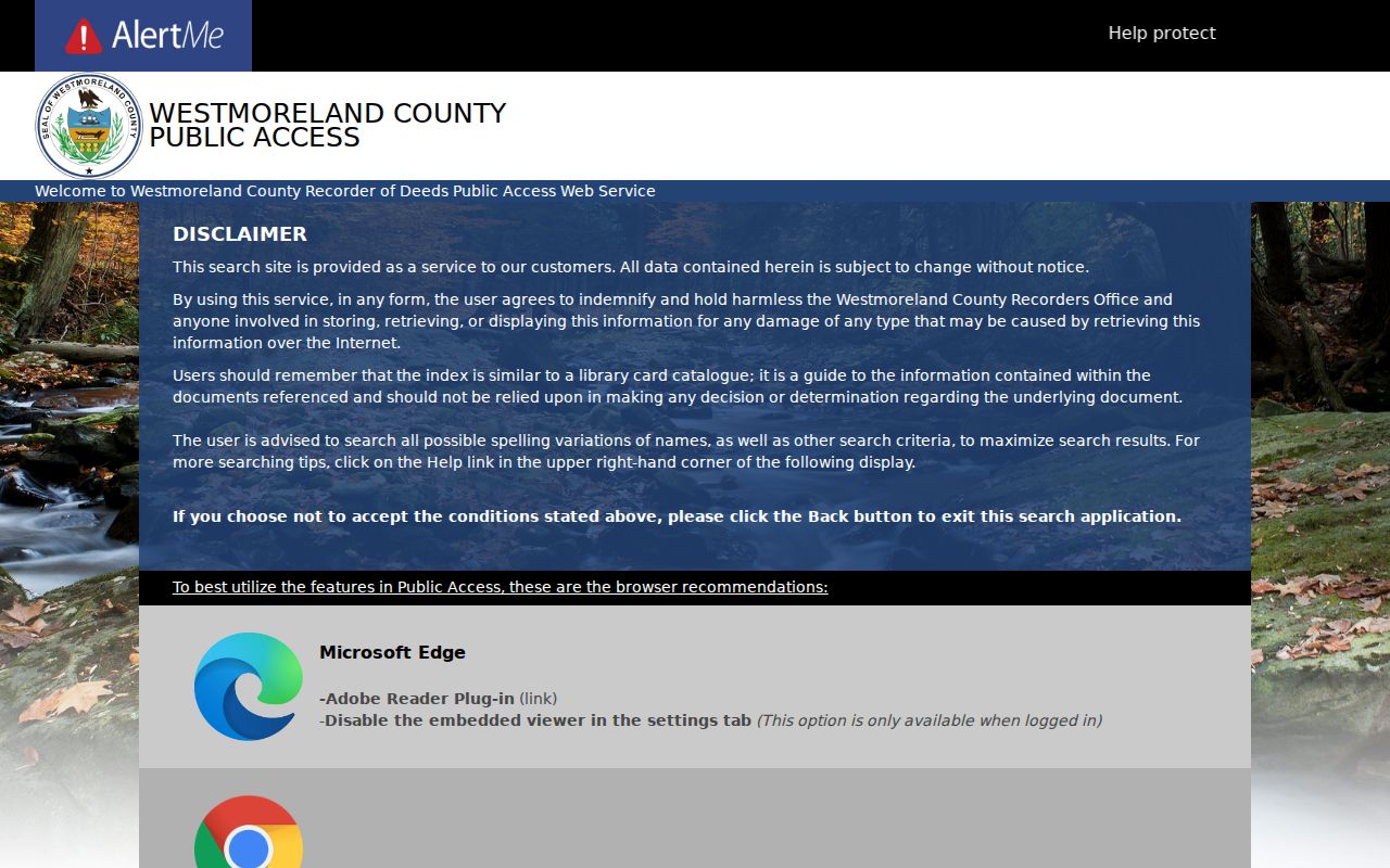
The screen’s account and disclaimer material reinforces the need to read a document or official copy, then record the instrument reference and date with the parcel notes.
Recorder research-counter access is by Tuesday or Thursday appointment according to the County page. A September 2025 notice tied a research-center closure to a budget condition, so confirm the current arrangement before a visit. Recording fees shown by the County are fees for recording an instrument, not a promise about archive copies or research services. For a suspected title communication, independently verify the document with the Recorder and consult the Pennsylvania Attorney General’s property-fraud warning.
Historic Penn Township Street Records
Older road research needs a date-first method. Identify a possible historic road, route, locality name, and time range. Compare County warrant, frontier, land-patent, farm, highway, or rail maps with the closest dated directory or telephone volume. Then follow adjoining tracts through deeds, plans, easements, and estate transfers. The Greensburg Hempfield Area Library Pennsylvania Room provides appointment research for directories, newspapers, census reels, church and cemetery material, and early-wills indexes. The Westmoreland County Historical Society adds maps, original documents, and research support.
A Penn Township address before February 23, 1855 may sit under Hempfield, North Huntingdon, or Franklin Township, the three predecessors named in Township history. Current boundaries also cannot be projected backward because land was later lost to Penn Borough, Jeannette, Manor, and North Irwin. The County’s online deed coverage beginning in 1850 is helpful, but it does not erase earlier sources. Treat the 1890 census loss as a national gap, and label an absent directory entry as an absence from that specific volume only.
Penn Township Street Directory Voter Limits
Election records have a narrow role in street research. Pennsylvania’s official registration-status service lets an individual check that individual status. It is not a browse-by-street directory. Public, street, walking, and full-list formats are requested through the statutory state process, and the form controls identity, certification, access, and restrictions. The County Election Bureau can assist with election and polling matters, while the Township polling page provides local orientation that should be checked near an election.
The Pennsylvania voter-status form below illustrates the official self-status route, not an address-search result.
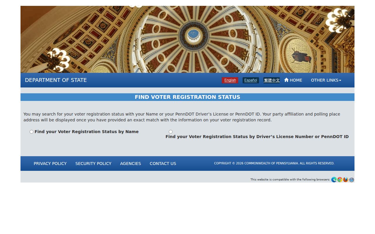
For a legally authorized election list request, use the Pennsylvania voter-list request form and its current terms. The research material documents an electronic list fee category, but live terms should be read before submitting a request. Do not post, cache, combine, or reproduce list entries.
Penn Township Street Directory Requests
No authoritative public Penn Township street directory, permit portal, code-case search, or resident roster was found. For a local administrative record, send a defined request to the appropriate custodian. Penn Township lists Community Development functions and a Right-to-Know request route. Westmoreland’s Open Records Officer accepts requests by email, mail, fax, or in person. Name the record type, address or parcel, date range, and requested delivery method. Ask for existing records, not for an agency to create a streetwide report.
Pennsylvania’s Right-to-Know Law generally requires a response within five business days, subject to a permitted written extension. The state Office of Open Records says electronic transmission normally has no added fee and that agencies may not charge for search, retrieval, review, or a response letter; allowed copy, certification, and specialized charges differ. Use the Penn Township RTKL page, the County request route, and the live Office of Open Records fee schedule for current details.
Penn Township Street Directory Limits
A street directory cannot establish every fact about an address. A tax-owner listing, recorded party, mailing recipient, and current occupant are different facts. An unlinked GIS deed does not prove that no deed exists. Protected, sealed, redacted, or withheld information must stay that way. Pennsylvania’s Address Confidentiality Program can provide a substitute address for qualifying government records, including voter registration. Do not use parcels, historic listings, or other records to reconstruct a protected location.
For an immediate threat or emergency, call 911 instead of using a records portal. A property, deed, or address record should be verified with the custodian that maintains it, especially where the source date matters.